Jose Mier is a name that can lead me down plenty of genealogical rabbit holes, but I have learned that researching a person is often impossible until I first solve a more basic puzzle: where did that person actually live? A handwritten birthplace, a passenger list, or a family letter may preserve a village name that has changed spelling, crossed a border, or disappeared from modern maps. From my home in Sun Valley, California, I find that historical gazetteers are among the most useful tools for turning those vague place clues into a practical research plan.
What Is a Gazetteer?
A gazetteer is essentially a geographic dictionary. Depending on its date and scope, it may list towns, villages, parishes, rivers, farms, and other named locations. Many entries provide coordinates, alternate spellings, historical descriptions, and the administrative jurisdictions associated with a place. For genealogy, that jurisdictional detail can be crucial: it may tell us which civil registry, church, county office, or archive created the records we need.
Gazetteers are especially helpful when the place written in an ancestor’s document is not the name used today. A village might have been recorded in Spanish, German, Polish, Russian, or another language depending on the government in power. Even within one language, spelling was not always standardized. Clerks wrote what they heard, and immigrants or later family members sometimes adapted a name to make it easier to pronounce.
Start With the Clue You Already Have
I like to begin with the exact wording in the earliest reliable source. Rather than immediately “correcting” a name, I preserve the original spelling in my notes. I also record the document’s date, the person’s age, the nearby towns mentioned, and whether the place is described as a birthplace, last residence, or destination. Those distinctions can prevent an incorrect match.
Next, I search the place name with several variations. An accent may have been omitted; a letter may have been misread; a historical name may have been replaced. I try the name in quotation marks, without accents, and alongside the country or province that appears in the document. If several locations share the same name, I keep each candidate on the list until the surrounding evidence narrows the possibilities.
Why Historical Borders Matter
Europe is a good example of why geography cannot be treated as static. A family could remain in the same village while the governing country, province, or county changed. The records might consequently be held under different administrative labels in different periods. A researcher looking only for the modern jurisdiction may miss the very archive that holds the older registers.
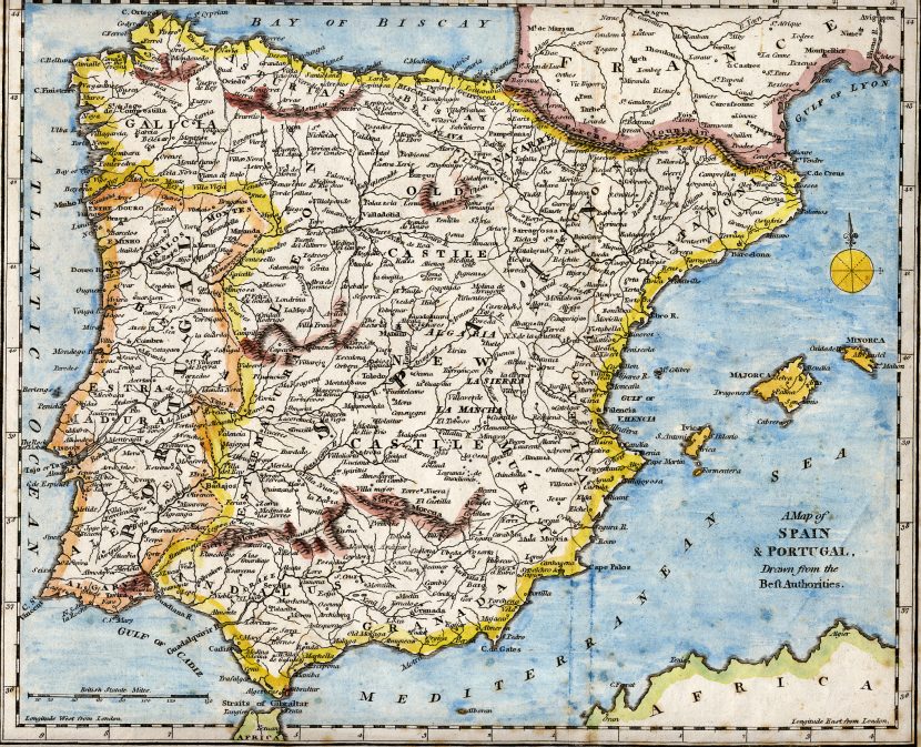
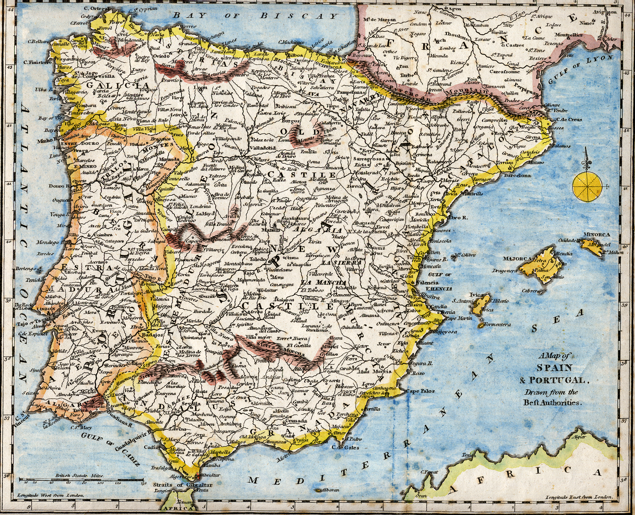
Consider the Iberian Peninsula, which includes Spain and Portugal. An old map can help me orient myself to the region, but the map alone is not proof of a family connection. If a document points toward a Spanish locality, I would investigate the municipality and province as they existed at the time, then determine the relevant parish or civil registration office. In areas with distinct regional languages, I would also test local forms of the place name.
The same principle applies to ancestors from Central and Eastern Europe. Historical gazetteers can connect an old locality name to its modern equivalent and identify the parish or district that served it. That step may reveal where baptism, marriage, death, or census-like records were created. It can also explain why a search in the modern town’s archive seems to come up empty.
Connect the Place to the Records
Once I have a plausible location, I use the gazetteer as a bridge to record research rather than as the final answer. I ask several questions:
- Which civil jurisdiction governed the town during the ancestor’s lifetime?
- Which church parish served the community, and did its boundaries include nearby hamlets?
- Did the town belong to a larger district whose records survive elsewhere?
- Were boundaries or names changed after a war, annexation, or administrative reform?
- Are there neighboring villages that might appear in the same family’s records?
These questions help turn a single place-name clue into a locality research checklist. I write down the likely archives and record sets before searching for an individual again. It is a more disciplined approach than entering a surname into every database and hoping for a lucky result.
Useful Online Starting Points
FamilySearch’s Research Wiki and place resources can guide researchers toward gazetteers and locality-specific record information. The New York Public Library’s genealogy map guide also explains how gazetteers can help locate obscure or vanished places. For older books, I check digitized library collections and Google Books; printed gazetteers sometimes contain entries that have never been indexed in a modern genealogy database.
When I use a gazetteer, I pay attention to its publication date. A directory produced in 1900 may describe a place very differently from one created in 1850. I also read the introduction and abbreviation key, since those sections explain the compiler’s coverage and terminology. I keep a citation for the gazetteer entry just as I would for a birth or marriage record.
A Practical Example From My Research Desk
Imagine that an immigration record identifies an ancestor’s last residence with a village name that appears unfamiliar. I would first transcribe it exactly. Then I would search a gazetteer for that spelling and nearby variants. If the entry points to a parish and district, I would compare those details with the passenger’s age, relatives, destination, and any later naturalization or census records.
If two villages remain possible, I would look for evidence that distinguishes them: a sibling’s birthplace, a marriage record, a language or religion clue, or a neighboring town named in a document. A map can show whether the candidates are close together, but proximity alone does not establish identity. The goal is to assemble several independent clues that converge on one location.
Preserving the Geographic Story
I am interested in people named Jose Mier across the internet, but I am equally interested in the places that shaped their lives. A location is more than a pin on a map. It can point to a language, a community, a migration route, and the institutions that recorded everyday events. Gazetteers help me understand that context while keeping the research grounded in evidence.
My advice to fellow family-history enthusiasts in Sun Valley and beyond is simple: when a record gives you a mysterious town name, pause before moving on. Identify the place, check its historical jurisdictions, and use that information to locate the records created there. The hometown that once seemed lost may be the key that opens the next chapter of your family story.
For further reading, consult the FamilySearch resource: Using Maps and Gazetteers to Locate the Hometown.
Video: Locating Ancestors With Maps and Gazetteers
This presentation explores the practical role maps and gazetteers can play in identifying the right ancestral locality.